Archive: Low resolution DEM of Earth
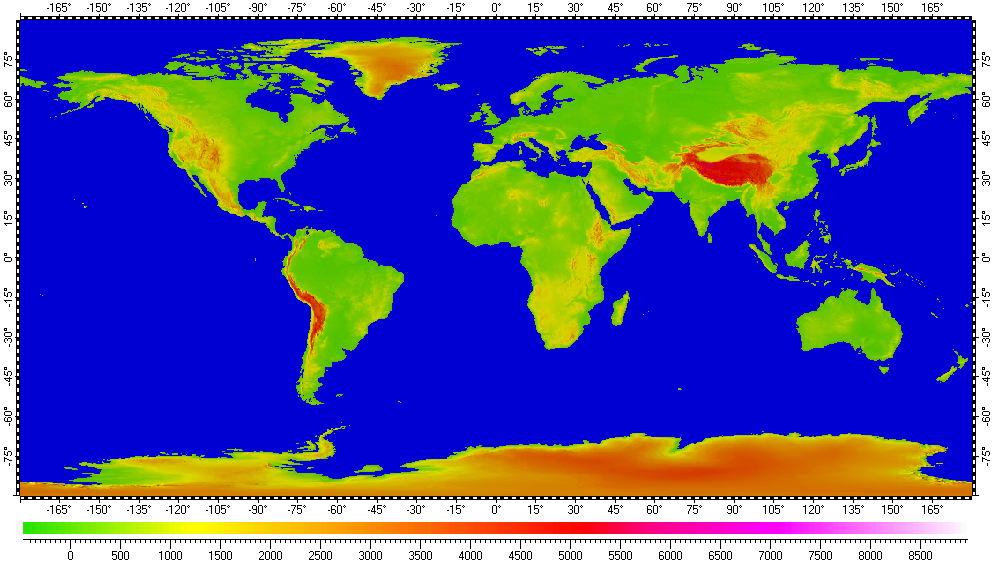
The datum of Digital Elevation Model of Earth, included in the archive, derived from raster data of GTOPO30 project, distributed by the USGS EROS data center. Base resolution of the datum is 30". Also the datum populated with data from USGS DEM 1° Quads with resolution 3" for Alaska, Aleutian Islands and Hawaii.
The datum presented here generally in form of .ZRS-files (stands Zipped Raster Set), which is proprietary compressed format of author of the datum. Separated files of the datum are in hierarchical and multi-resolution relation for optimization of speed and appearance upon using in Spatial Aspect Viewer and Spatial Aspect Explorer.
Also the datum contents set of spatial regions covering main geographical features of Earth, including continents, separated mountains, ranges, peninsulas, selected areas, islands and lakes.
Installation prerequisites:
- Spatial Aspect Map Locator for installation process and easy launching.
- Spatial Aspect Viewer or Spatial Aspect Explorer for using.
View license agreement for using the data
Installation file:
GTOPO30Ext.zip -
Size: 406,855,723 bytes (388 MB); MD5: 066D83824A8334B1FB72AF7C07236FE4.
Copyright © 2016-2023 Yuri Feldman - All Rights Reserved